Which US states have you been to?
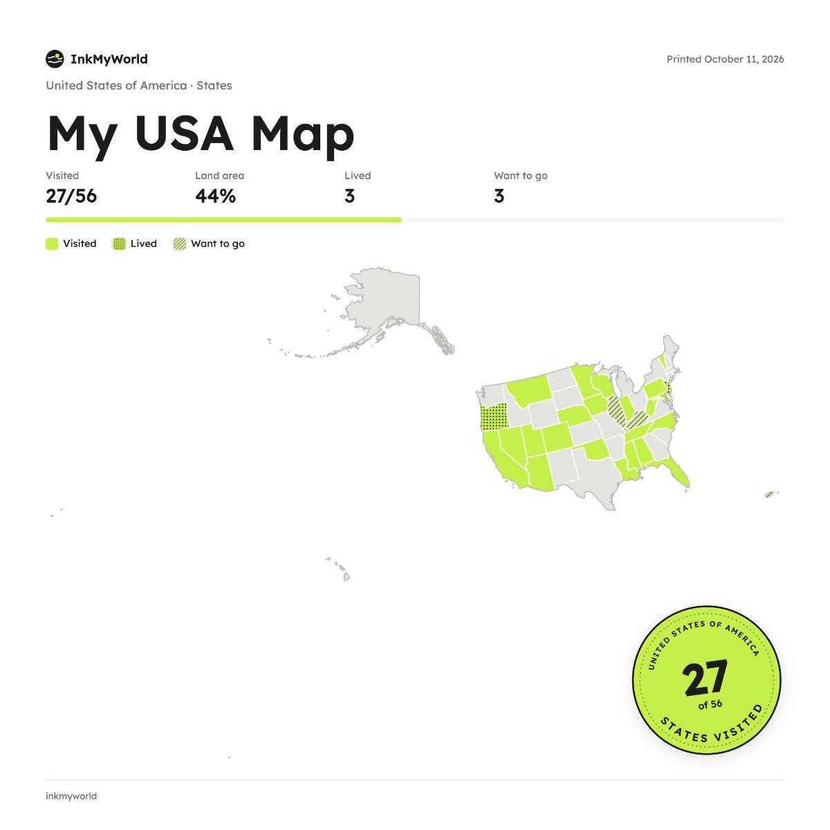
Tap the states you've visited and see how much of the country you've covered. Keep a note for each road trip, then download your map to share.
Start your mapYour maps stay in your browser. Nothing is uploaded.
How it works
- Pick a country and how to divide it: districts, states, provinces or the whole world.
- Tap the places you've been. They fill in with colour.
- Add dates and notes if you like, and mark where you've lived or want to go.
- Download it as a PNG or JPG to post, or print it and frame it.
Pick a country, tap the districts, states or provinces you’ve visited, and keep a line about each one. Download your map as a PNG or JPG: it’s free, and there’s no account to make.
Questions
Does the map include DC and the territories?
Yes. It has the 50 states, Washington DC and five territories: Puerto Rico, Guam, the US Virgin Islands, American Samoa and the Northern Mariana Islands.
Can I map counties?
Yes. Choose Counties when you start your map to mark all 3,233 of them.
Is it free?
Yes. No sign-up, no ads, and your map stays in your browser.