How much of the UK have you explored?
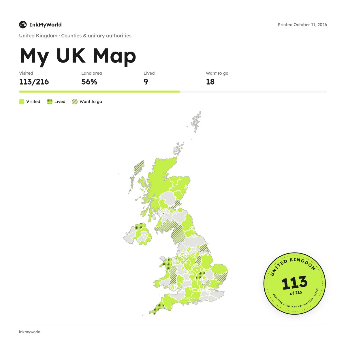
Tap the counties and unitary authorities you've visited across England, Scotland, Wales and Northern Ireland, then download your map.
Start your mapYour maps stay in your browser. Nothing is uploaded.
How it works
- Pick a country and how to divide it: districts, states, provinces or the whole world.
- Tap the places you've been. They fill in with colour.
- Add dates and notes if you like, and mark where you've lived or want to go.
- Download it as a PNG or JPG to post, or print it and frame it.
Pick a country, tap the districts, states or provinces you’ve visited, and keep a line about each one. Download your map as a PNG or JPG: it’s free, and there’s no account to make.
Questions
What areas does the UK map use?
It has 216 counties and unitary authorities. You can also map just the four nations.
Is it free?
Yes. No sign-up, and your map is saved in your own browser.