Which Canadian provinces and territories have you visited?
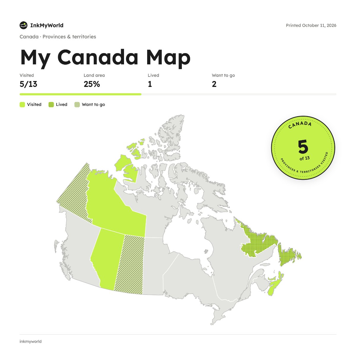
Mark every province and territory you've been to, from British Columbia to Newfoundland and Labrador, and download a clean map of your travels across Canada.
Start your mapYour maps stay in your browser. Nothing is uploaded.
How it works
- Pick a country and how to divide it: districts, states, provinces or the whole world.
- Tap the places you've been. They fill in with colour.
- Add dates and notes if you like, and mark where you've lived or want to go.
- Download it as a PNG or JPG to post, or print it and frame it.
Pick a country, tap the districts, states or provinces you’ve visited, and keep a line about each one. Download your map as a PNG or JPG: it’s free, and there’s no account to make.
Questions
How many provinces and territories are there?
Canada has 10 provinces and 3 territories, and the map shows all 13.
Can I go more detailed?
Yes. Choose census divisions when you start your map.
Is it free?
Yes. Free, no account, and it works in English and French.